VVAC In The Off Season: Celebrating The History and Cultures of Arizona From Prehistory to 2026
During the peak heat of summer, it may seem quiet at VVAC, but we stay busy in the lab, prepare for the fall, and cool off with educational trips at higher elevations. Most recently, our members visited Leroux Springs and our lab volunteers visited Elden Pueblo Heritage Site in Flagstaff, celebrating the rich, intertwining history within Arizona.
Richard McGaugh, VVAC’s Trip Leader, co-led both excursions with Monica Buckle, VVAC’s Executive Director, who coordinated the trips. McGaugh has an extensive background leading guided hikes, as well as a deep knowledge and appreciation of Arizona’s history and culture. McGaugh is not only a VVAC Docent and Volunteer, but a Roving Ranger at Walnut Canyon, Wupatki and Sunset Crater National Monuments, a guide at Elden Pueblo, and a Docent at the Museum of Northern Arizona.
Located at the base of the San Francisco Peaks, Leroux Springs is made up of two springs, Big and Little Leroux Springs. These have both been an important perennial water source for thousands of years, utilized by Indigenous Americans, as well as explorers and homesteaders.
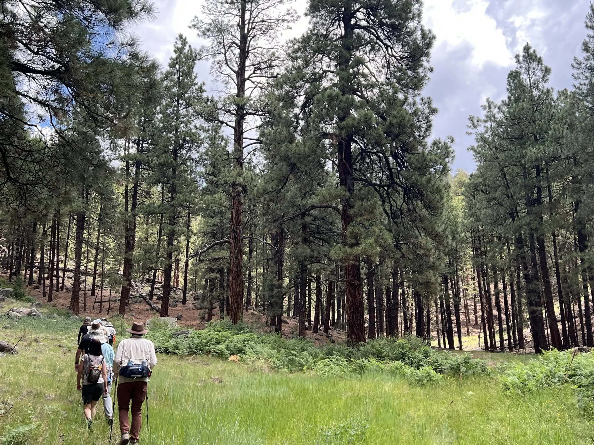
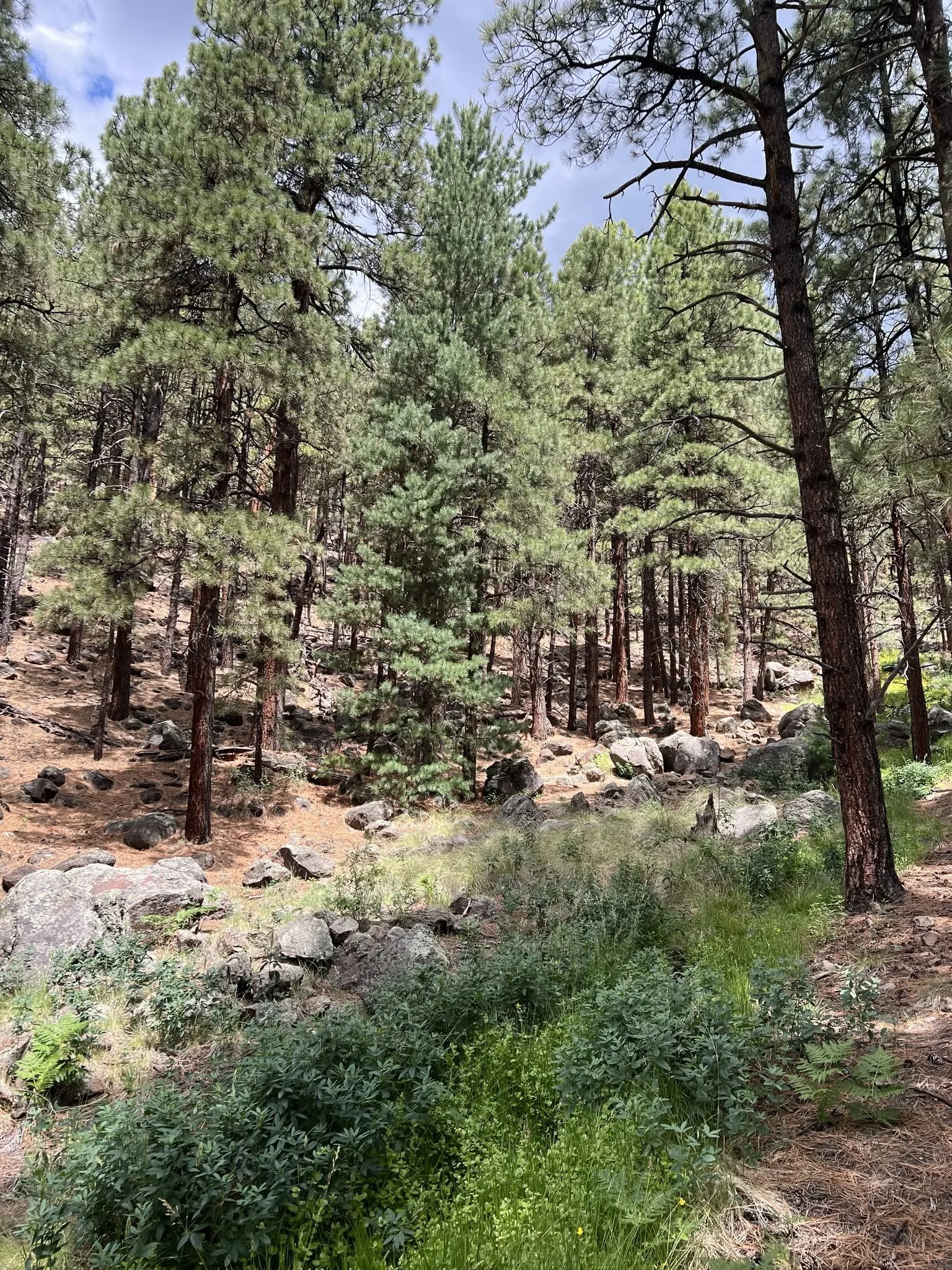
Photos courtesy of Monica Buckle
Named after Antoine Leroux, a guide and trapper, the springs were first documented during the Sitgreaves Expedition in 1851. In 1848, following the Mexican-American War and the Treaty of Guadalupe Hidalgo, the United States acquired new territory but had no knowledge of the land. Military leaders, scientists, naturalists, entrepreneurs, and politicians all wanted to know what was in this new territory. Led by Lorenzo Sitgreaves, the namesake expedition was ordered by the U.S. Army Corps of Topographical Engineers and was the first journey through the newly acquired land. He was tasked with determining if a practical wagon road existed between existing northern and southern routes and whether the Zuni River led to California.
Sitgreaves and his party—consisting of soldiers, scientists, artists, and guides—left Zuni Pueblo in present-day New Mexico, working their way to northern Arizona and finding much-needed water at the springs. Sitgreaves managed to map large portions of the region, found that the Zuni was unsuitable for navigation but that the Colorado River was promising for transportation, ultimately shaping future exploration of the Colorado River Valley.
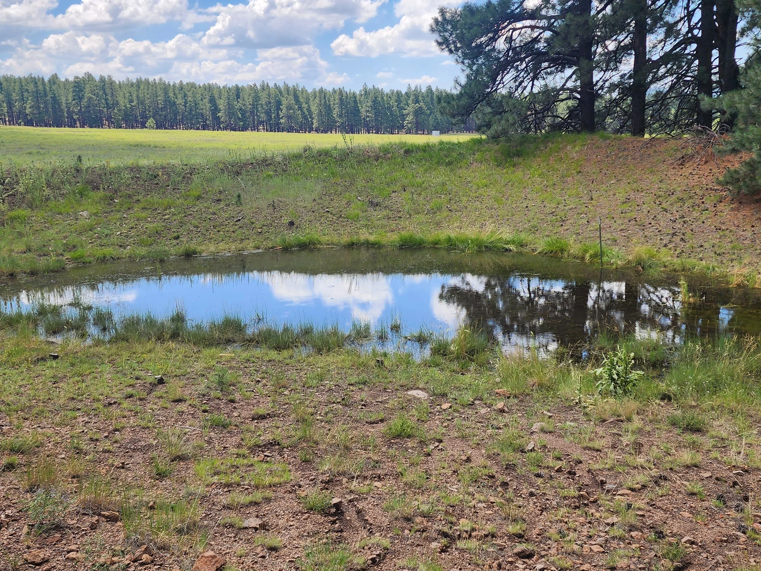
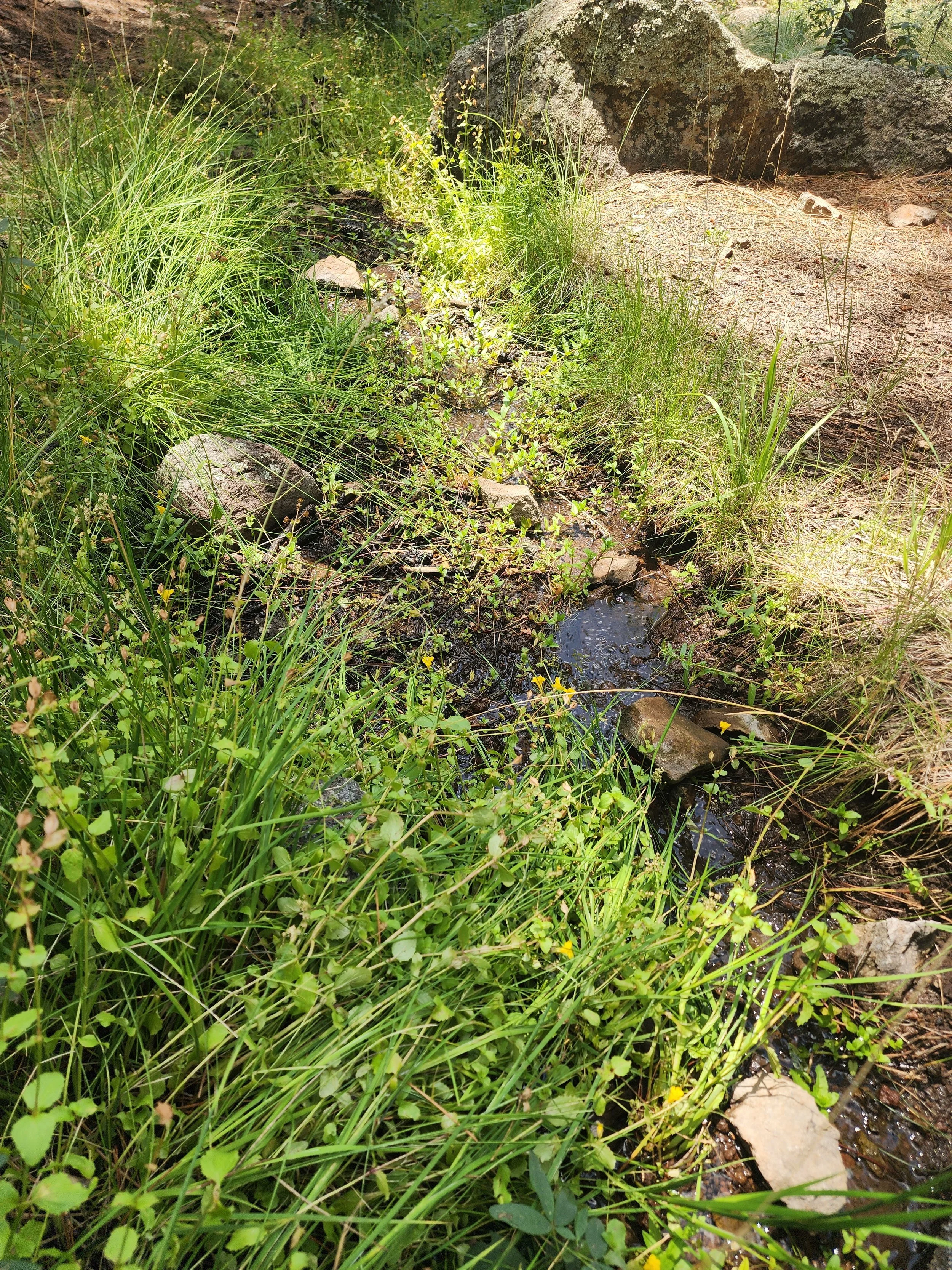
Water from the spring. Photos courtesy of Richard McGaugh
In July 1853, the Whipple Expedition left Fort Smith, AR, to survey routes for a railroad. With over 100 men and 200 mules, the flowing water at the springs was an oasis for the parched travelers when they reached it in December. Here, Whipple christened the site Leroux Springs after their guide who led them to this rejuvenating water supply.
Leroux Springs continued to be a vital water source for all people (and animals) passing through. In 1857, Edward Fitzgerald Beale was appointed by President James Buchanan to survey and build a wagon road from Fort Defiance, AZ (and later Fort Smith) to the Colorado River. He used camels from the U.S. Camel Corps as pack animals and camped at the springs several times.
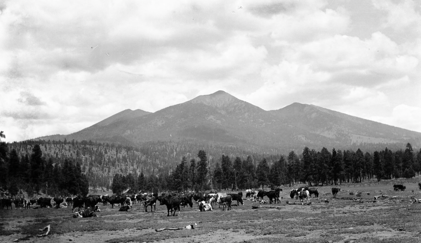
Fort Valley, AZ. Image Courtesy of the Museum of Northern Arizona via Arizona Memory Project
Brigham Young later sent people to settle the area. His son, John Young, settled near the springs and built one of the first cabins in the area in 1876. He directed the construction of Fort Moroni, which later became known as Fort Valley. Mormons started the Moroni Cattle Company and used the springs extensively for cattle ranching.
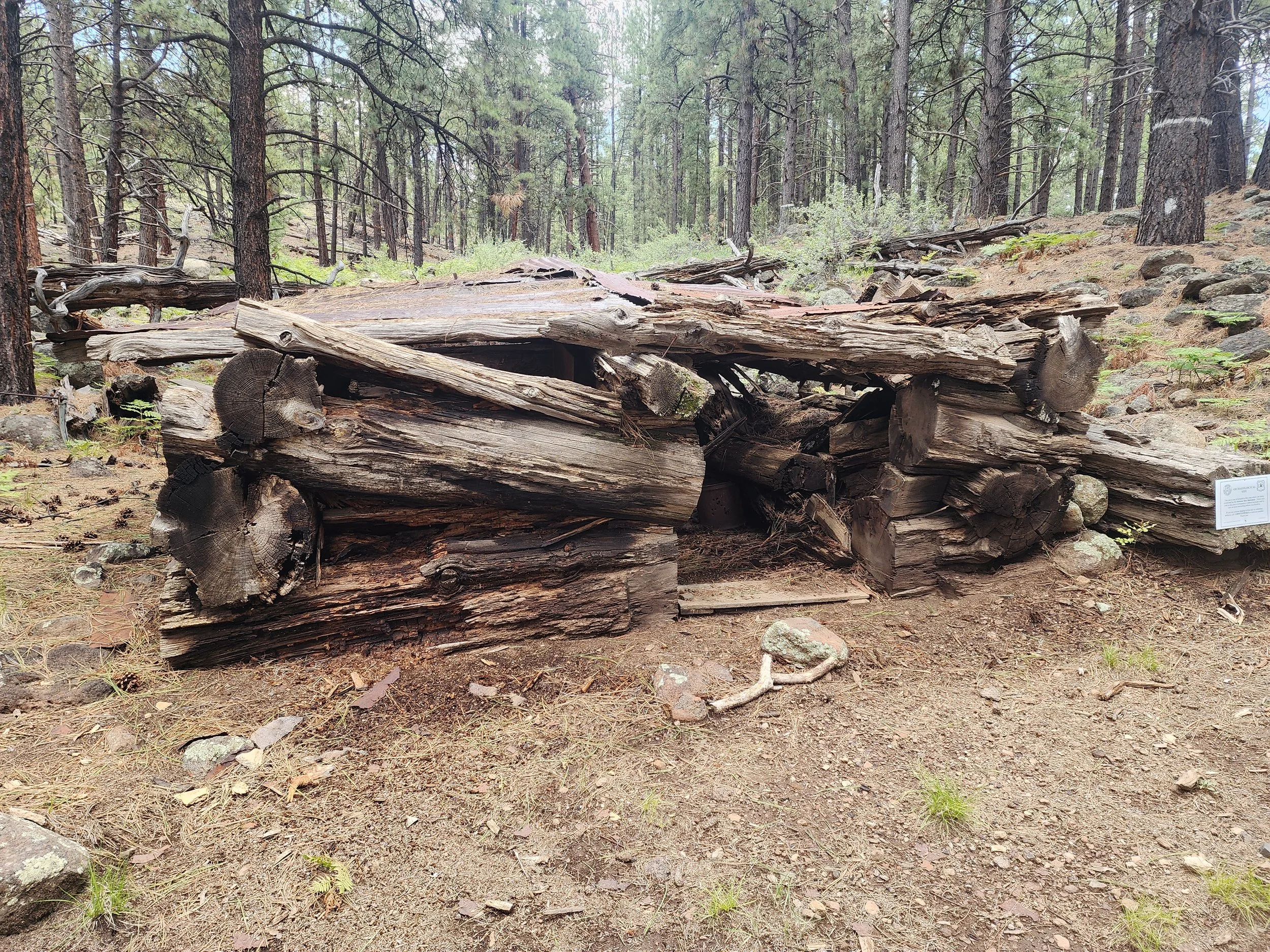
The Young Cabin. Photo courtesy of Richard McGaugh
When the weather turned dry, prehistoric peoples traveled to the springs from as far as Walnut Canyon for water. During a water shortage in 1881, Charles Veit and Frank Cavanaugh hauled water from the springs to Flagstaff and sold it for a dollar a barrel.
“What’s incredible is that millennia later, this water source is still flowing,”Buckle said. “With all the different cultures, people, livestock and environmental changes, it’s still there.”
Elden Pueblo Heritage Site
VVAC has done extensive lab work for Coconino National Forest, with ceramics from Elden Pueblo specifically. After learning that a few of our lab volunteers had never been to the site, Buckle planned a visit to the pueblo. McGaugh, a Docent at the pueblo, gave a tour to our volunteers, joined by Archaeologist Peter J. Pilles Jr., who provided additional information during the tour.
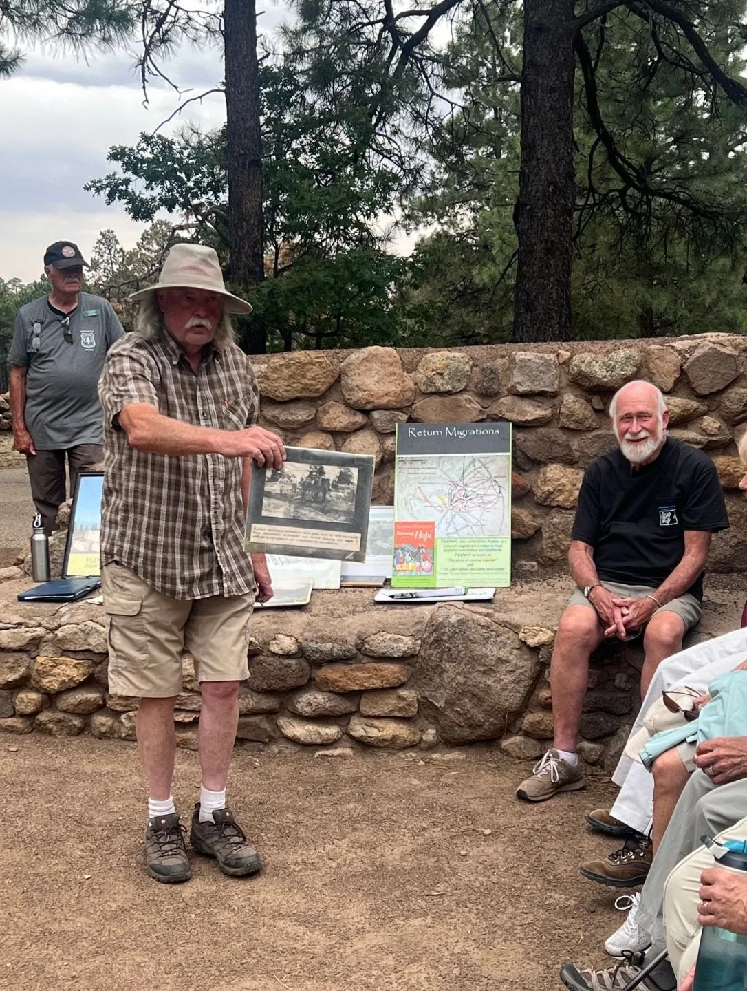
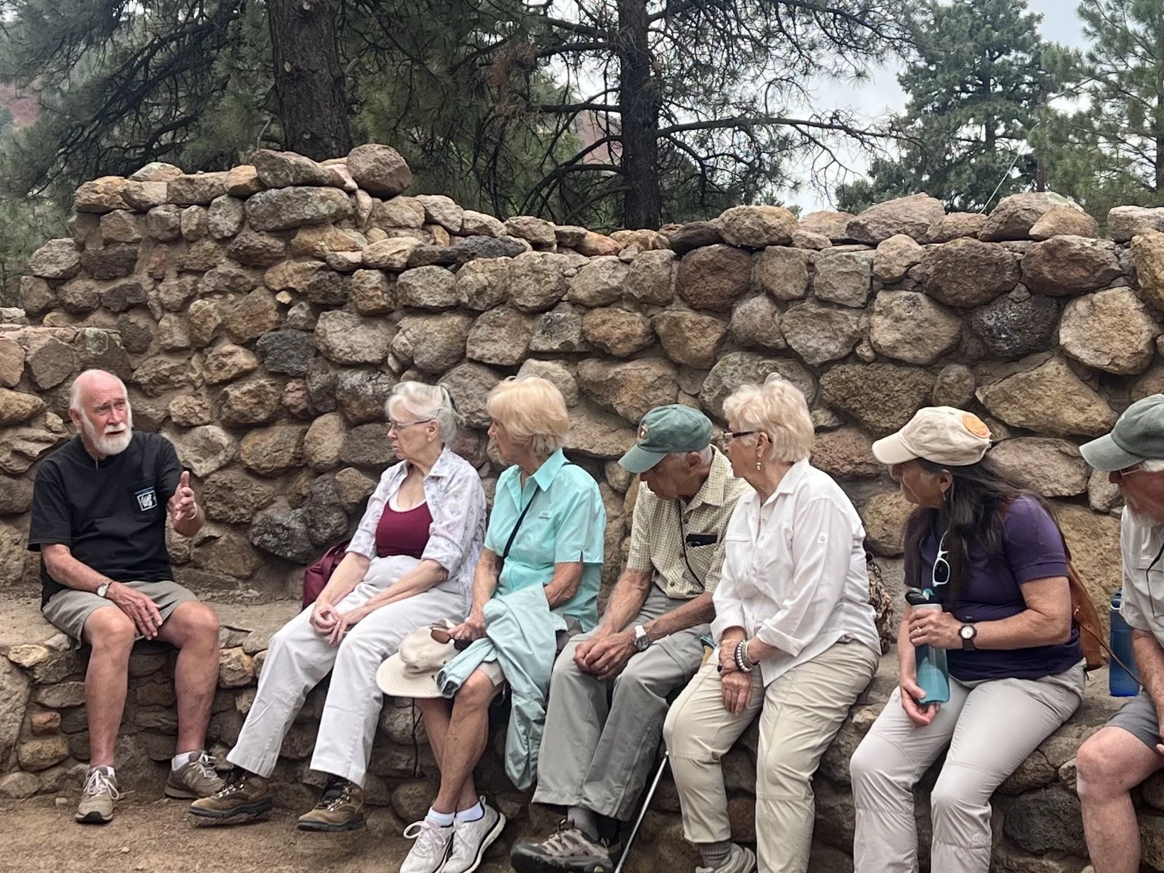
Photos courtesy of Monica Buckle
Elden Pueblo is an Ancestral Hopi site that was occupied from AD 1070-1275 with the earliest habitation in the form of pit houses. The pueblo was constructed as late as 1200-1225 and after 1250, a major building period started as more people migrated into the area and the site grew to over 60 rooms. The Hopi recognize this place as Pasiovi, meaning the meeting place or a place of coming together. This was an important place where different societies and Hopi ceremonies developed. It also served as a trade center, with macaw remains indicating trade with Mexico and shells linking coastal Californian communities.
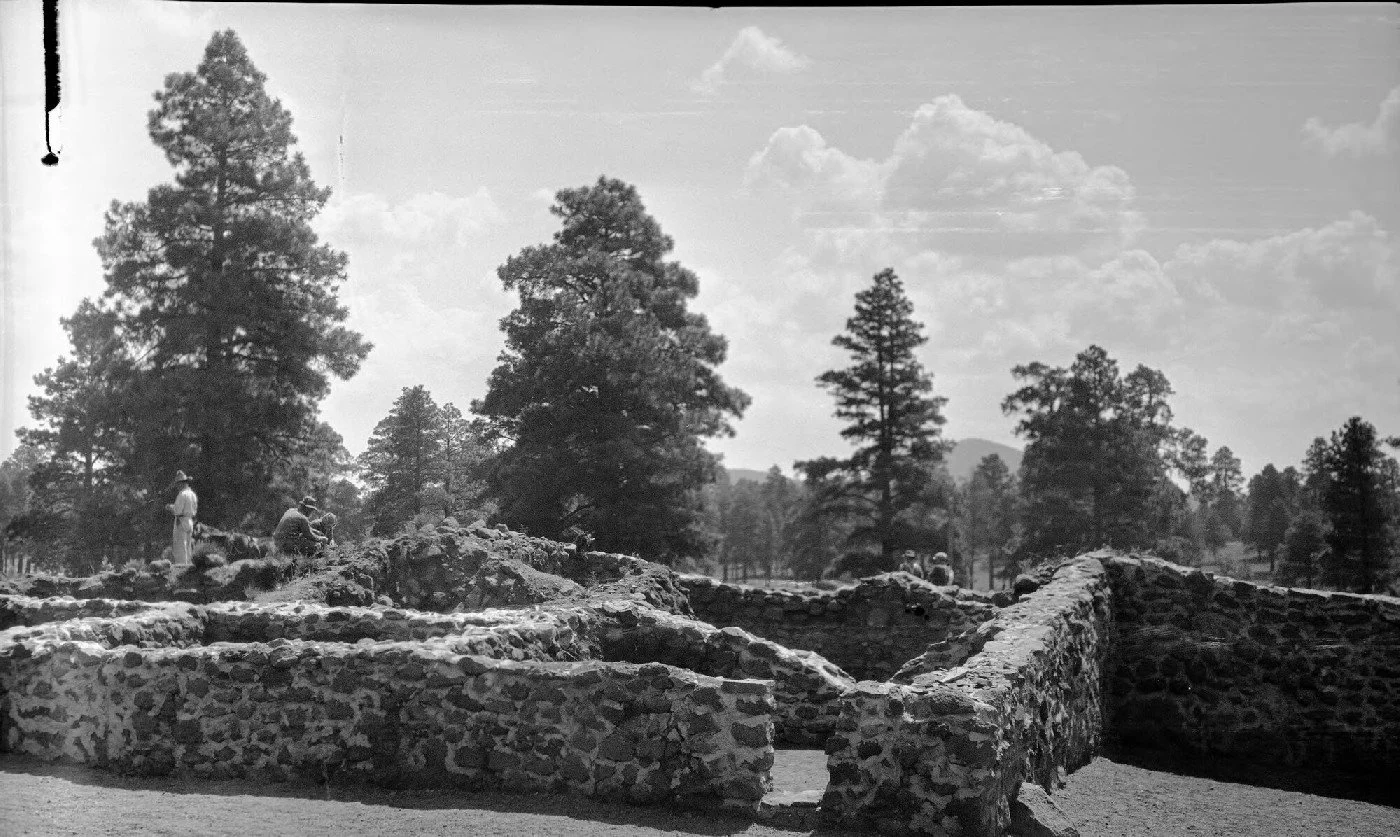
Image courtesy of the Museum of Northern Arizona via Arizona Memory Project
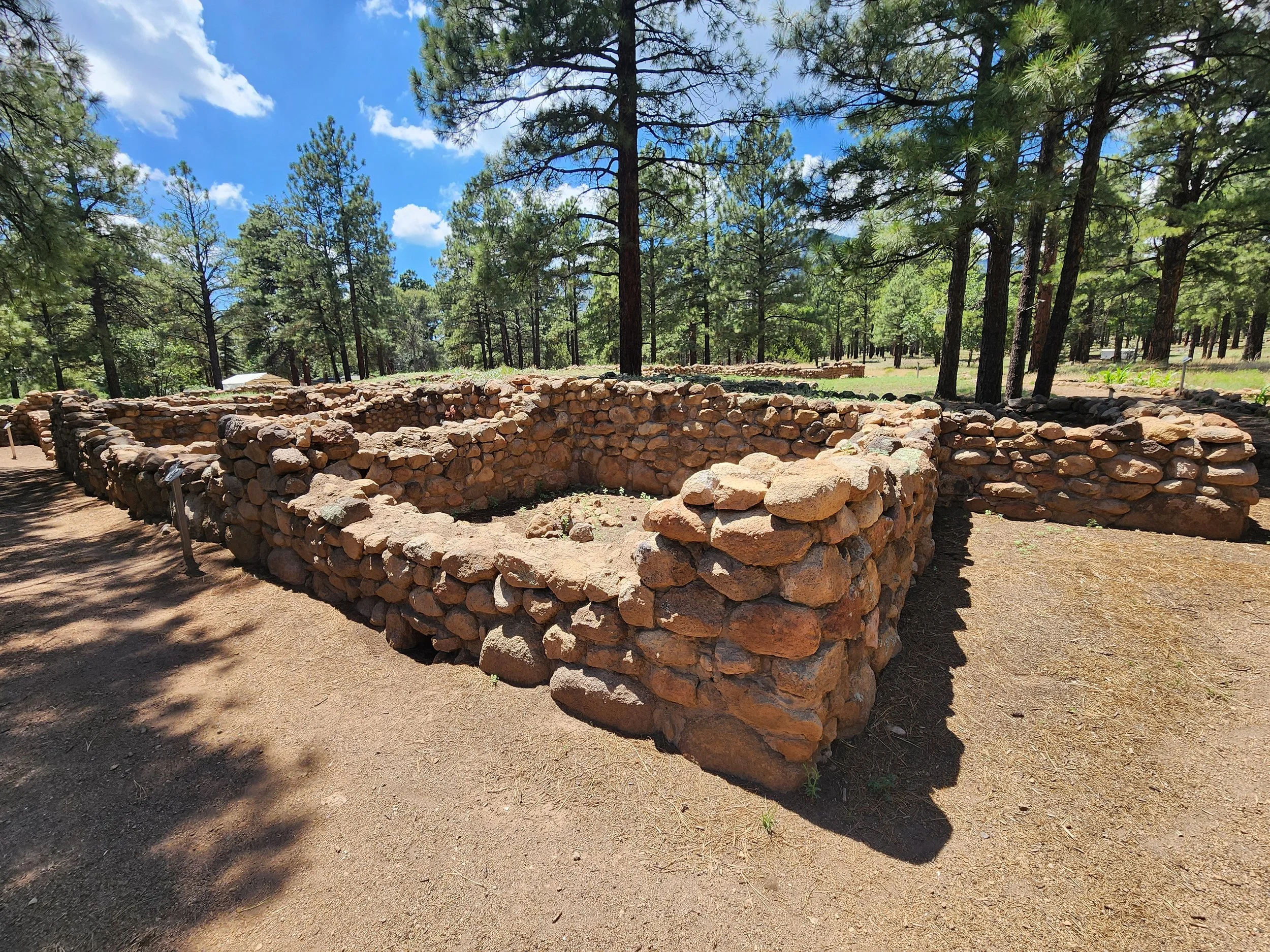
Photo courtesy of Richard McGaugh
Mary-Russell Ferrell Colton is credited with encountering the site while on horseback in 1916 with her husband, Harold Sellers Colton. The site was excavated in 1926 by Smithsonian archaeologist Jesse Walter Fewkes. While artifacts were being sent across the country to the Smithsonian, several locals wrote the institution asking for the artifacts back. The Smithsonian replied, stating they would consider giving a small, representative collection back if there was a place to properly display them. Dr. Colton led a group of citizens and scientists to organize a museum society which officially developed into the Museum of Northern Arizona in 1928.
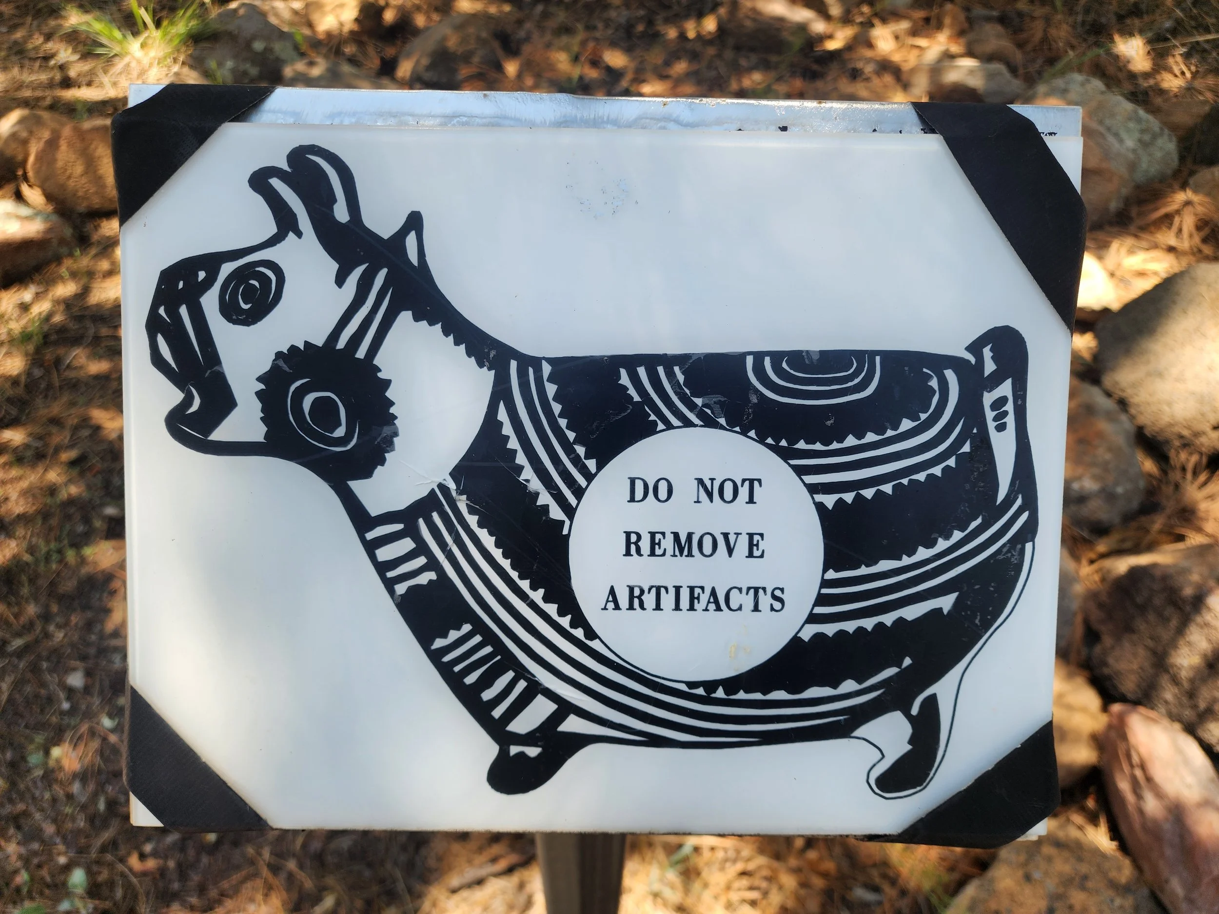
Elden Pueblo's mascot. Photo courtesy of Richard McGaugh
Route 66
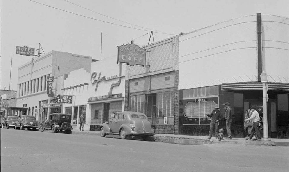
As Elden Pueblo was being excavated in 1926, Route 66 was formed, linking Chicago to Santa Monica. Flagstaff still has 14 original miles of the “Mother Road,” which follows the paths that Indigenous groups and early explorers of the region carved out. Similar to Elden Pueblo, the Route 66 corridor became a place of trade where people from different regions gathered.
The U.S. Bureau of Public Roads created the first federal highway system in 1926, designating a network of existing roads as U.S. Route 66. Going through rural and more isolated communities, the highway created economic opportunities for businesses in small and large towns alike. In Flagstaff, increased traffic turned the lumber and railroad town into a tourist hub.
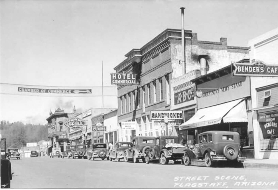
Route 66 along Santa Fe Avenue in Flagstaff in the late 1920s.
During the Great Depression and the Dust Bowl, there was actually an increase in traffic as those fleeing their homes and looking for jobs headed west. While World War II saw a decrease in the highway’s tourist traffic, it was a major roadway for moving troops and supplies, as well as even more jobseekers headed west. Increased automobile ownership nationwide added to the traffic and appeal of Route 66, but in the 1950s, President Dwight D. Eisenhower signed the Federal-Aid Highway Act of 1956 which created the Interstate Highway System. Five new interstates, including I-40, slowly replaced 66 over the next 30 years. The highway was officially decommissioned in 1985 after the last stretch through Williams, AZ was bypassed by I-40 in 1984. Route 66 remains an American icon, and in Arizona, more than 200 miles of the original Mother Road still exist.
Around the same spot as above, about 15 years later.
A native of Flagstaff, McGaugh remembers driving the old 66 road to pick up hay in Chino Valley in a ‘44 Chevy truck, even taking it all the way to Pasadena to visit his grandparents. He remembers when I-40 bypassed Flagstaff in 1968 and his friends whose parents were in the transportation industry moved away.
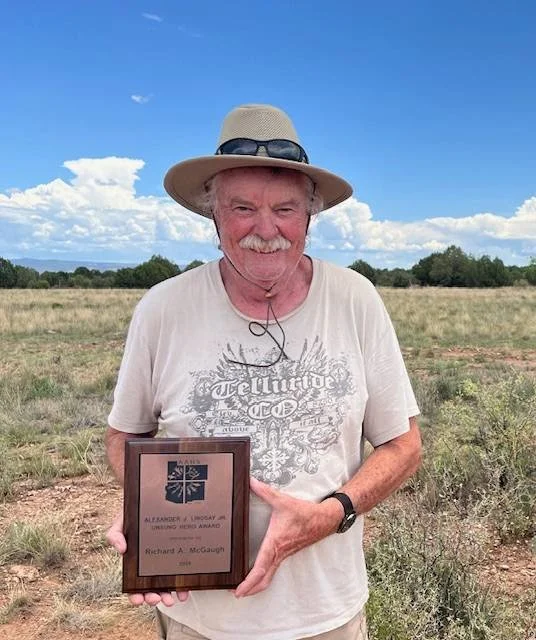
Richard McGaugh holding an award bestowed to him by the Pecos Conference Committee at Pecos Conference 2024. Photo courtesy of Monica Buckle
“I just love to share Arizona with everybody, especially this area here,” McGaugh says. “My backyard was in the San Francisco Peaks, so that's where I spent my time checking out old history.”
McGaugh’s favorite sites in Flagstaff are Wupatki and Walnut Canyon, but he also loves to visit the Honanki and Palatki heritage sites in the Verde Valley. He uses his role as docent at different sites to give lessons on how visitors are supposed to act and treat the sites respectfully.
“Our trips are an astounding success because of the experience and knowledge of the landscape that Richard provides.” Buckle said. “We are most fortunate to have Richard. Our hikes and excursions sell out instantly, one, because there is high demand and limited spacing, but more importantly they sell out exponentially fast because of Richard. He is so gracious to all guests and is a very open minded individual. He enjoys questions, and guests feel welcome to contribute to the conversation or add some of their knowledge.”
Because of McGaugh’s willingness to share knowledge with others, paired with Buckle’s coordination and planning of these exciting trips, VVAC’s volunteers, members, and visitors can deepen their own understanding of Arizona’s history through our educational excursions. From ancient springs frequented by Indigenous groups and settlers to ancestral villages and the historic Route 66 corridor, these places show how different groups have used and shaped the same landscape over time, providing a layered history to be learned and celebrated.
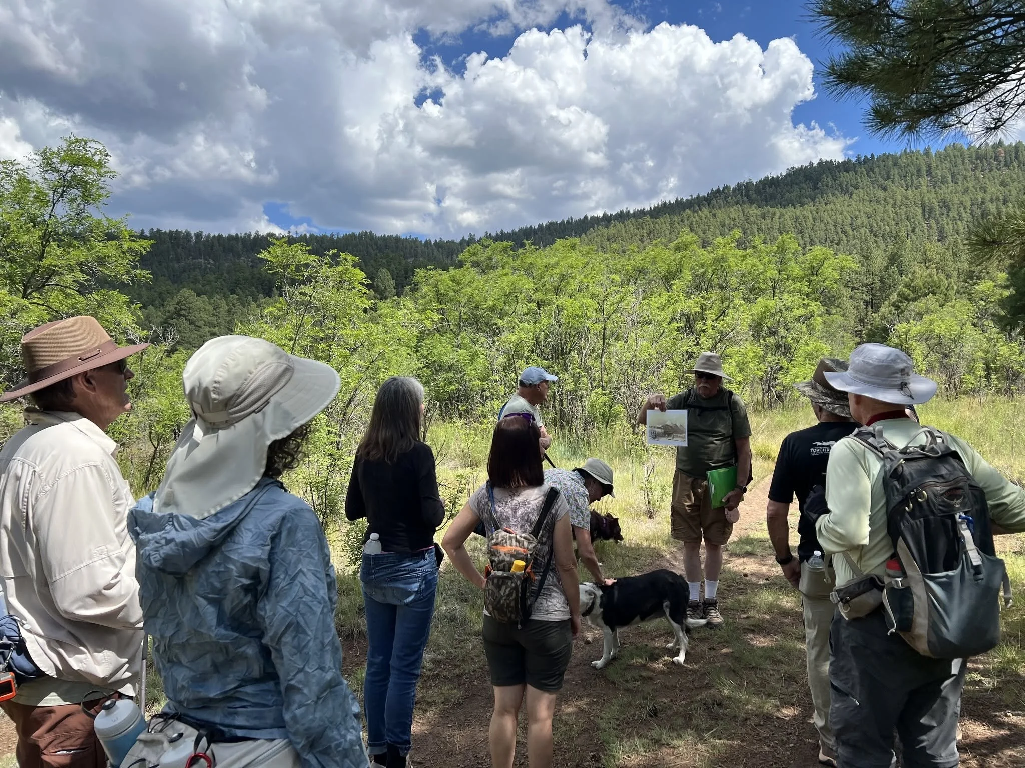
Richard sharing the history of Leroux Springs. Photo courtesy of Monica Buckle